
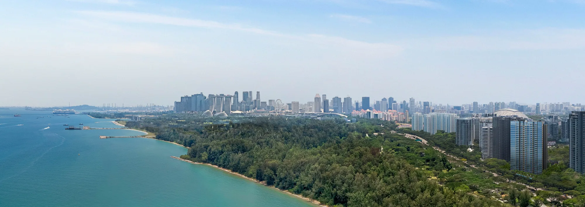
 Artist’s impression
Two Thomson-East Coast Line stations sit within a short walk of Meyer Blue, and the Circle Line is a little further inland. This guide sets out where each station leads, the bus and road links, and how long the trips take by the developer’s estimates.
Katong Park Station and Meyer Blue
Katong Park station (TE24) stands on Meyer Road itself, at 45 Meyer Road near the old Katong Park. On OneMap its Exit 1 is about 510 metres from the site in a straight line, and the developer’s brochure gives a six-minute walk along Meyer Road.
The station opened with the east coast stretch of the Thomson-East Coast Line on 23 June 2024, according to the Land Transport Authority. Westbound trains run to Tanjong Rhu, Gardens by the Bay and Marina Bay, then on through Shenton Way, Outram Park, Orchard and the north of the island to Woodlands, so the city centre is a few stops away without a change.
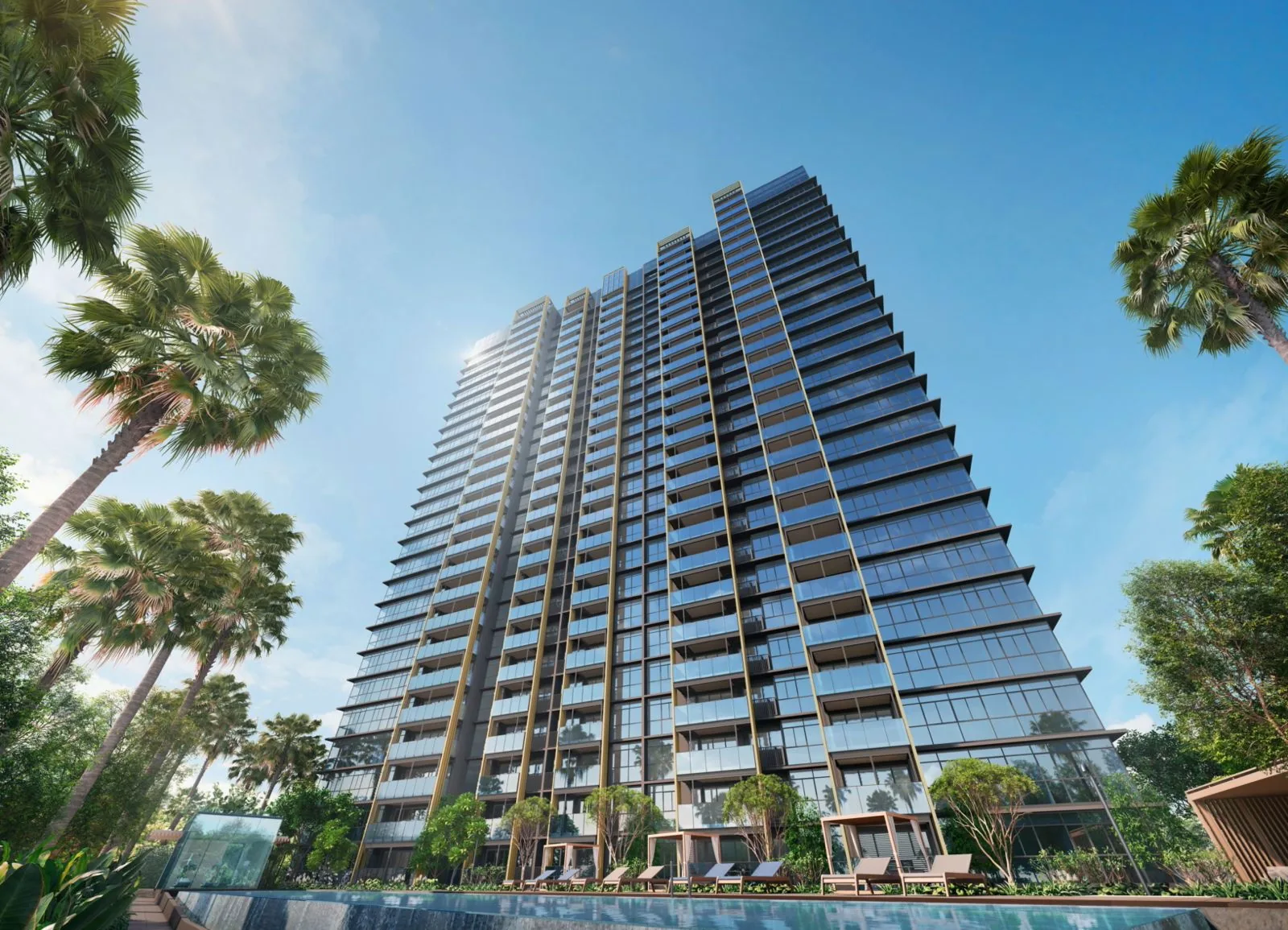
Tanjong Katong Station and Meyer Blue
Tanjong Katong station (TE25) is about 640 metres from the site to Exit 1, on Tanjong Katong Road. Eastbound, the line continues to Marine Parade, Marine Terrace, Siglap and Bayshore, serving the east coast estates and Parkway Parade on the way.
| Place | Straight line from the site |
|---|---|
| Katong Park MRT station (TE24), Exit 1 | about 510 m |
| Tanjong Katong MRT station (TE25), Exit 1 | about 640 m |
| Dakota MRT station (CC8), Exit B | about 1.3 km |
| Mountbatten MRT station (CC7), Exit B | about 1.4 km |
| Marine Parade MRT station (TE26), Exit 2 | about 1.6 km |
| Stadium MRT station (CC6), Exit B | about 1.9 km |
Measured on OneMap (SLA) from the site; walking routes are longer.
The Circle Line near Meyer Blue
Dakota (CC8) and Mountbatten (CC7) on the Circle Line are each about 1.3 to 1.4 kilometres away. From Dakota the line runs north to Paya Lebar, an interchange with the East-West Line, and west through Mountbatten and Stadium, for the Singapore Sports Hub, to Promenade and the Marina Bay area. Stadium station is about 1.9 kilometres from the site.
Driving and Cycling from Meyer Blue
The East Coast Parkway runs just south of Meyer Road, leading west to the Marina Coastal Expressway and the city, and east to Changi Airport. By car, the developer’s brochure gives about six minutes to the Singapore Sports Hub, eight to Suntec City, ten to Marina Bay Sands and twelve to the Central Business District. The car park of Meyer Blue has 229 lots on one basement level, four of them with electric-vehicle chargers. By bicycle, the park connectors along the coast reach Bay East Garden in about 12 minutes and Gardens by the Bay in about 19, by the developer’s estimate. The location page maps the stations.
Book a Meyer Blue Showflat Appointment
Ask the Sales Concierge for the developer’s price list, the homes still open and the e-brochure for Meyer Blue. Showflat viewings are arranged by appointment through the Sales Concierge.